Hi Community,
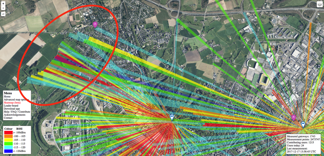
today I used a few minutes to test the CCC U23 LoRaBone LoRaWAN node's capabilities in mapping to map parts of two interesting areas in Aachen (Laurensberg and the Herzogsweg). I used a highly sophisticated and professional mount to strap the node onto my backpack and powered it using your average high quality china power bank.

I chose to map these areas not only because they are close to my home but also because they are interesting areas in that they are both pretty high above the city center and represent two different kinds of terrains. Laurensberg being a suburbian residential area with medium building density spread over an aera with high altitude differences make it particularily hard to cover. Herzogsweg on the other hand is on the edge of a hill with flat farming area behind it. Because of that it's an interesting location for outdoor sensor nodes.
Here is a photo of the view from Herzogsweg with a few markings:

I hope that my data contributes to the community and that I could share some insights on the U23 LoRaBone capabilities and show some interesting locations for LoRa projects :)
- snoato