Just some fun fact: TTN Mapper shows quite a few GNSS tracking nodes in the Port of Amsterdam area, apparently operated by OBA Bulk.
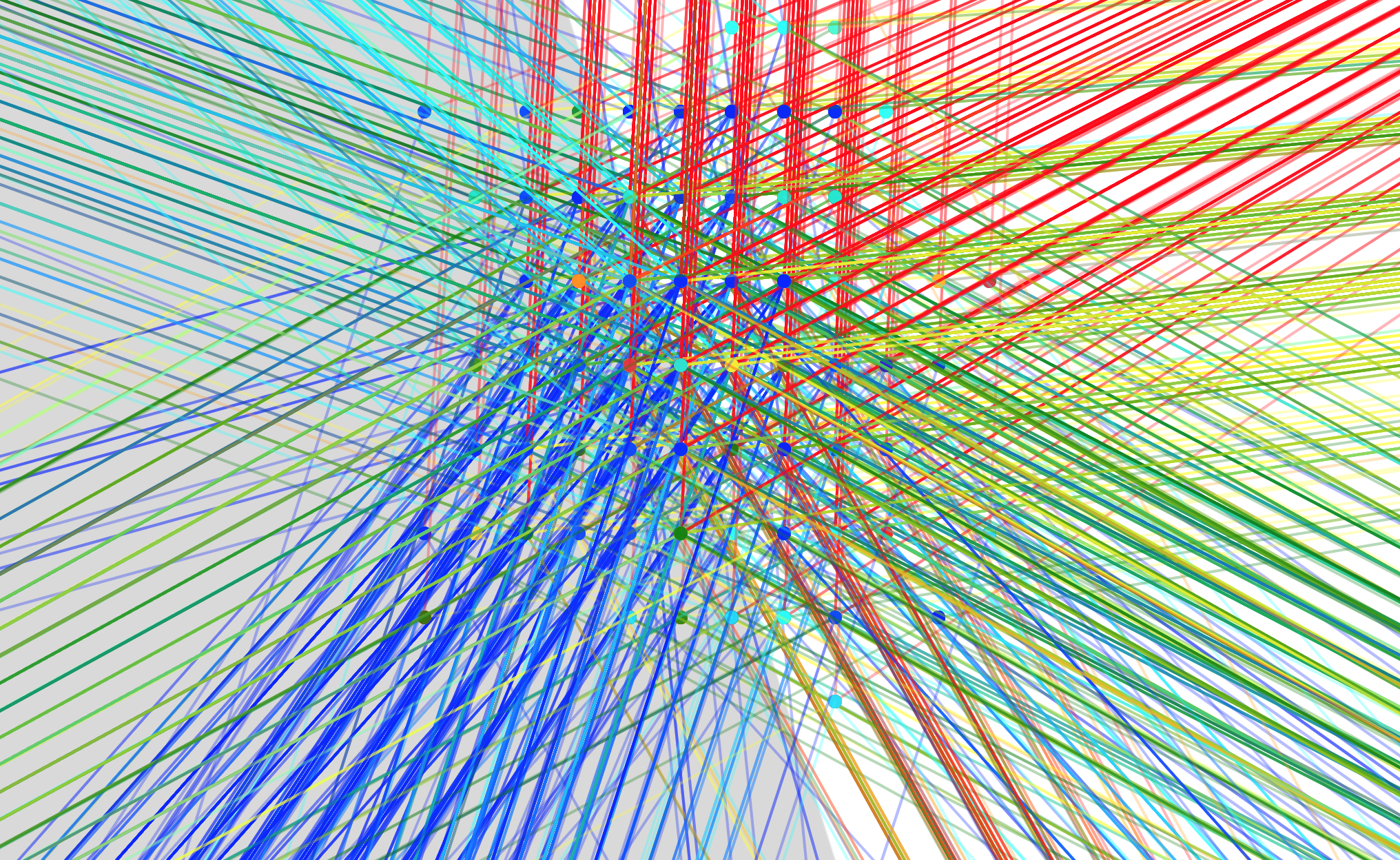
As the map data takes a long time to load (typically about 6 minutes, but up to 20 minutes!), I won’t provide direct URLs here. But some yield nice images, especially a few probably semi-stationary nodes that seem to be showing that the calculated GNSS coordinates suffer some inaccuracy and rounding, of course. Like:
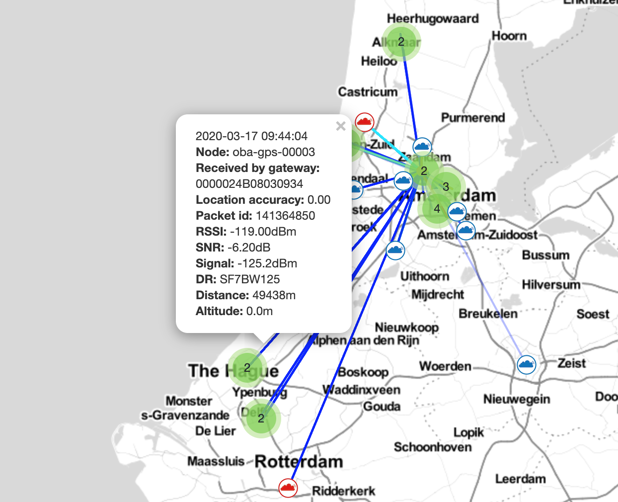
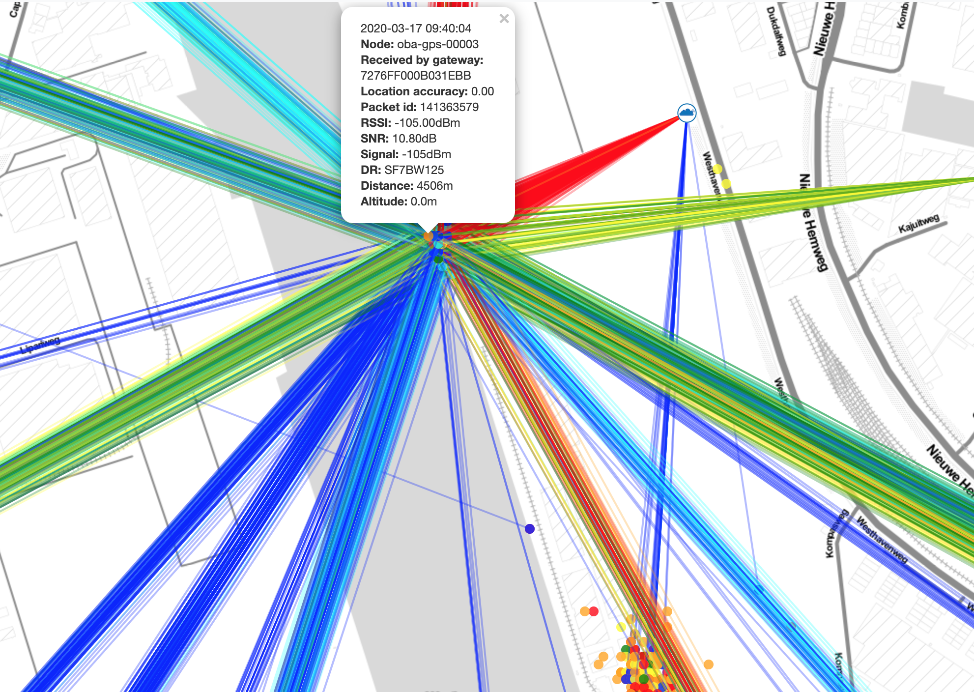
Or, when seen from a specific gateway in Haarlem:
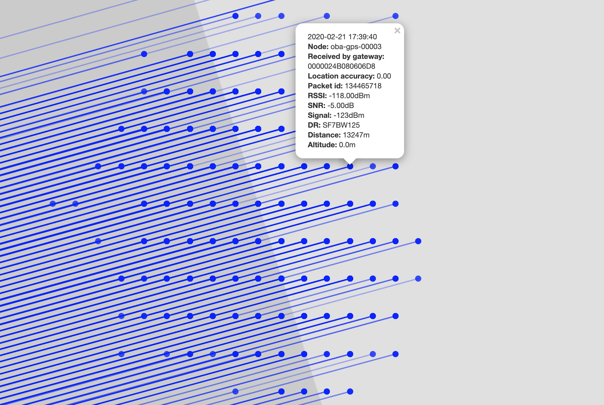
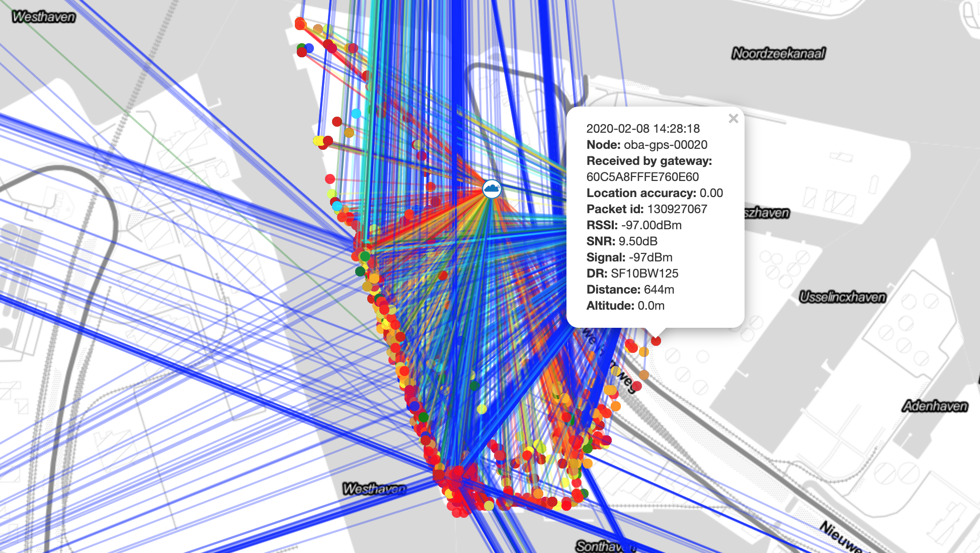
First I figured the above node may be a stationary reference for Differential GPS, or just a fixed reference to monitor some gateways. But both are unlikely, as there are many of those nodes to discover when following their naming scheme. Probably the above is just a GNSS node used elsewhere, which was temporarily taken inside an office or storage. Compare with, e.g, oba-gps-00020 which is clearly not stationary at all:
Also, it seems the nodes for the above maps have not been operational (or just not forwarding to TTN Mapper) recently. TTN Mapper will limit advanced maps to the most recent 10,000 “measurements”. For the above oba-gps-00003 I see those 10,000 most recent measurements spanning from 2020-03-17 09:40:04 thru 2020-03-18 11:25:56. And for oba-gps-00020 I see 2020-01-29 20:18:22 thru 2020-03-09 18:03:27. Each measurement is a single gateway, so a single uplink may yield multiple measurements. It seems that for those devices an uplink is/was transmitted every minute. Though we don’t know the packet size, on SF7 that’s probably within the legal maximum duty cycle, albeit not adhering to the 30 seconds TTN Fair Access Policy.